

In today’s fast-paced world, having a reliable map app on your iPhone is essential for everything from daily commutes to international travel. With a variety of GPS and navigation apps available on the App Store, it can be overwhelming to choose the one that best fits your needs. Whether you’re driving, walking, cycling, or using public transportation, the right app can make your journey smoother, faster, and more efficient. In this guide, we’ll break down the best map apps for iPhone that offer accurate directions, real-time traffic updates, offline access, and user-friendly interfaces.
Navigating with the best map apps for iPhone? But let’s talk about fueling those adventures with great meals, because nothing beats home-cooked food on the road. The ReciMe app makes it effortless: import recipes from Instagram, TikTok, or Pinterest in a snap, plan weekly meals to stay energized and save time, and generate grocery lists sorted by store aisle. Grab ReciMe now, then keep charting your course with the best map apps for iPhone!

1. Apple Maps
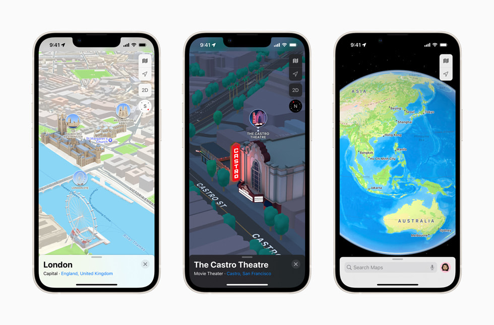
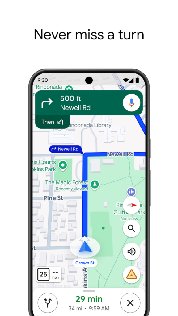
Apple Maps is the default navigation app for iPhone users, offering deep integration with iOS and seamless performance. Over the years, it has significantly improved in terms of accuracy, map detail, and features. With turn-by-turn directions, traffic updates, lane guidance, and real-time transit information, it serves as a reliable everyday navigation tool.
The app is especially useful for those who prefer a clean interface and strong privacy controls, as Apple does not track your movements for advertising purposes. Apple Maps includes Look Around, a street-level view similar to Google’s Street View, now available in numerous countries and cities, syncing seamlessly with Siri and Apple Watch.
Key Highlights:
- Built-in iOS integration with Siri support
- Real-time traffic and transit information
- Privacy-focused data handling
Who it’s best for:
- iPhone users who want a native experience
- Individuals focused on privacy and security
- Daily commuters using driving or public transport
Contact Information:
- App Store: apps.apple.com/us/app/apple-maps
- Website: maps.apple.com
2. Google Maps
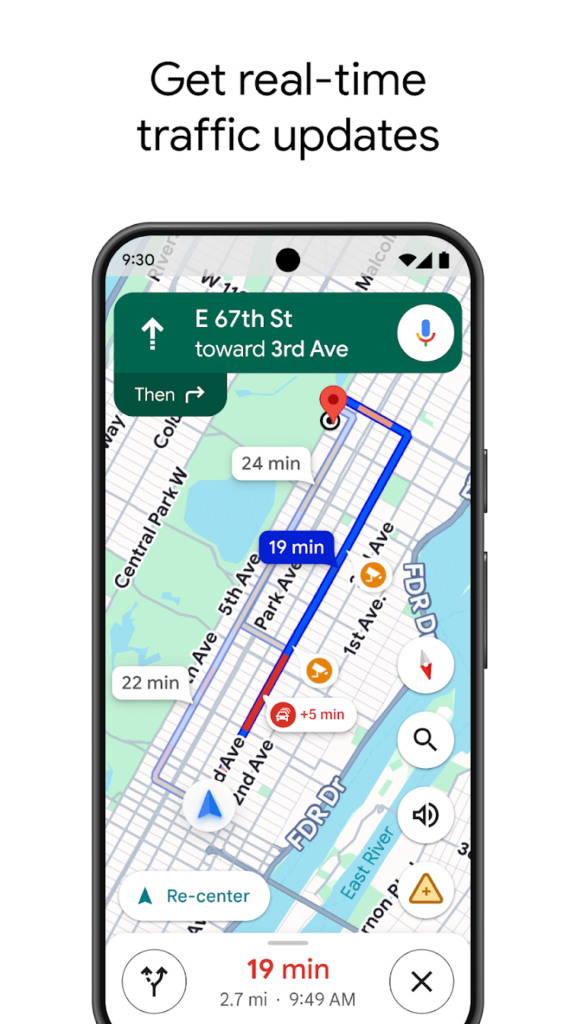
Google Maps is one of the most popular navigation apps globally, known for its unmatched accuracy and vast mapping data. It offers detailed turn-by-turn directions for driving, walking, biking, and public transport, along with live traffic conditions, route options, and estimated travel times.
What makes Google Maps powerful is its additional features such as street view, offline map downloads, business ratings, and user-generated reviews. It’s especially useful for exploring new places and planning trips, thanks to features like saved locations and multi-stop route planning.

Key Highlights:
- Highly accurate and updated map data
- Extensive local business and place information
- Offline map support and street-level imagery
Who it’s best for:
- Travelers and explorers navigating new areas
- Users needing business and location details
- Drivers, cyclists, and public transit riders
Contact Information:
- Website: www.google.com/maps
- App store: apps.apple.com/us/app/google-maps
- Google Play: play.google.com/store/apps/details

3. Waze
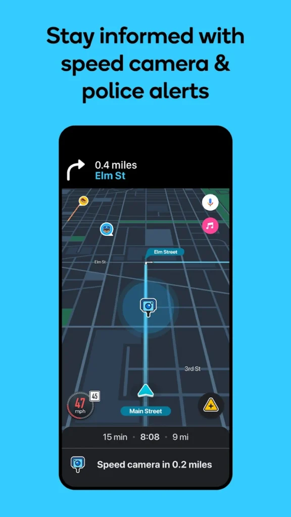
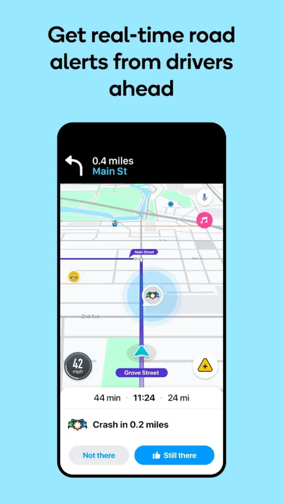
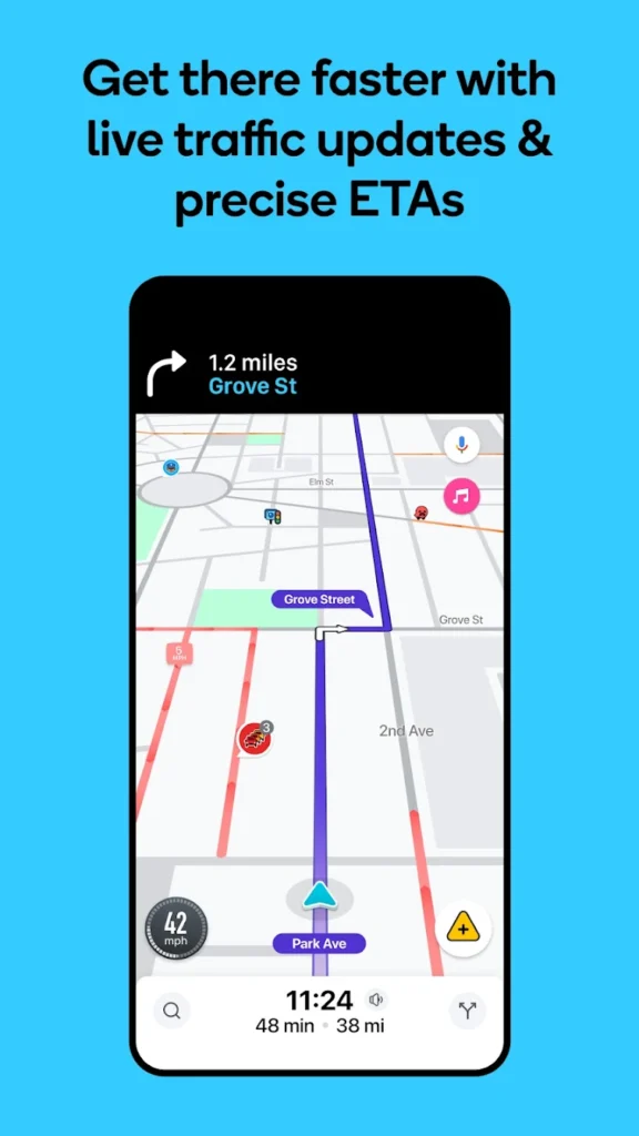
Waze is a community-driven navigation app focused on real-time traffic and road hazard updates, offering limited offline navigation through cached routes but requiring an internet connection for real-time features. It relies on user input to report accidents, police activity, traffic jams, and road closures. This crowd-sourced data allows Waze to suggest alternate routes to help users avoid delays.
The app’s interface is designed for drivers and emphasizes speed and simplicity. It also supports voice navigation, music integration, and speed limit alerts. Waze is ideal for those who want the fastest route possible, especially during rush hour.
Key Highlights:
- Real-time user-reported traffic alerts
- Dynamic rerouting based on current conditions
- Speed camera and hazard warnings
Who it’s best for:
- Commuters in busy traffic zones
- Drivers looking to avoid delays and closures
- Users who want a traffic-optimized experience
Contact Information:
- Website: www.waze.com
- App store: apps.apple.com/us/app/waze-navigation-live-traffic
- Google Play: play.google.com/store/apps/details

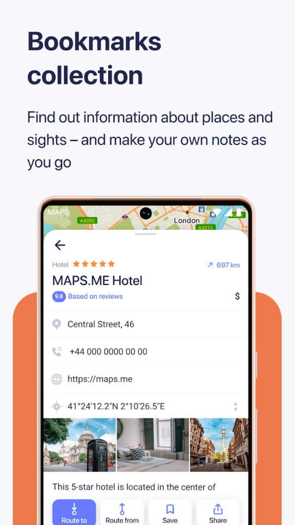
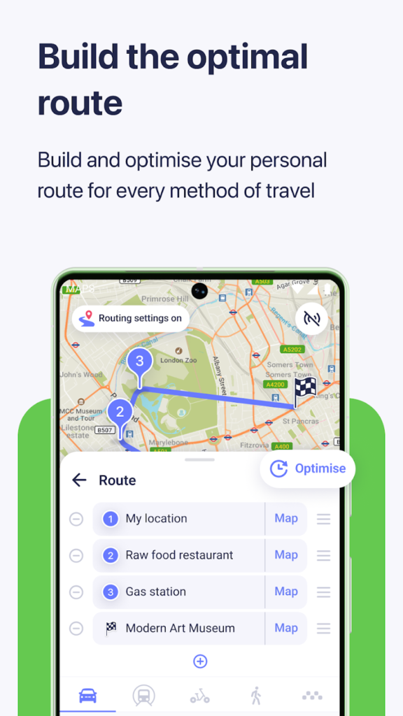
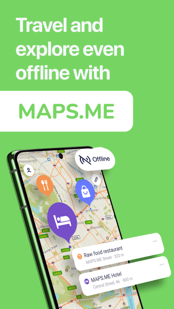
4. MAPS.ME
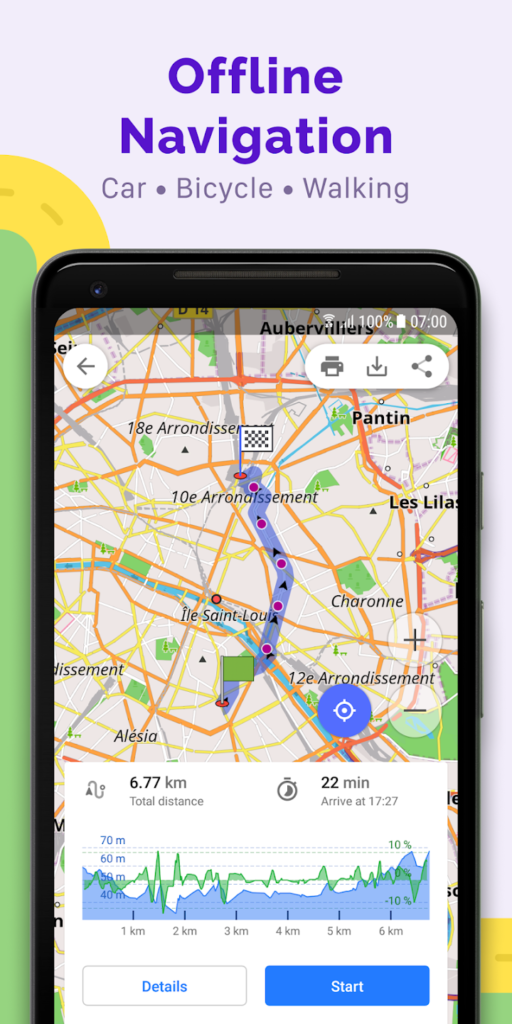
MAPS.ME is an offline-first map app that offers fully downloadable maps for any country or region. It is designed for travelers and adventurers who may not always have internet access. Once downloaded, the maps work entirely offline, including routing for walking, driving, and cycling.
The app also includes points of interest like restaurants, landmarks, and hotels, and supports bookmarking locations. It’s a great companion for hiking, backpacking, and travel in remote areas where data coverage is limited or expensive.
Key Highlights:
- Full offline access to maps and navigation
- Lightweight and fast even on older devices
- Points of interest and travel-friendly features
Who it’s best for:
- Travelers and hikers going off the grid
- Users needing international maps without roaming
- Anyone seeking offline navigation reliability
Contact Information:
- App Store: apps.apple.com/us/app/maps-me-offline-maps-gps-nav
- Google Play: play.google.com/store/apps/details
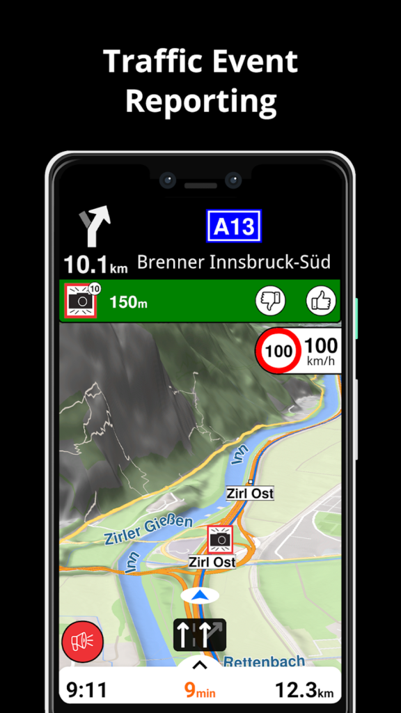
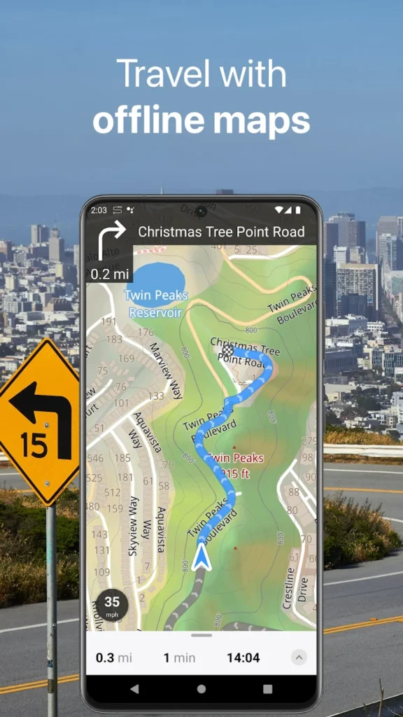
5. Sygic GPS Navigation & Maps
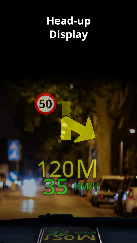
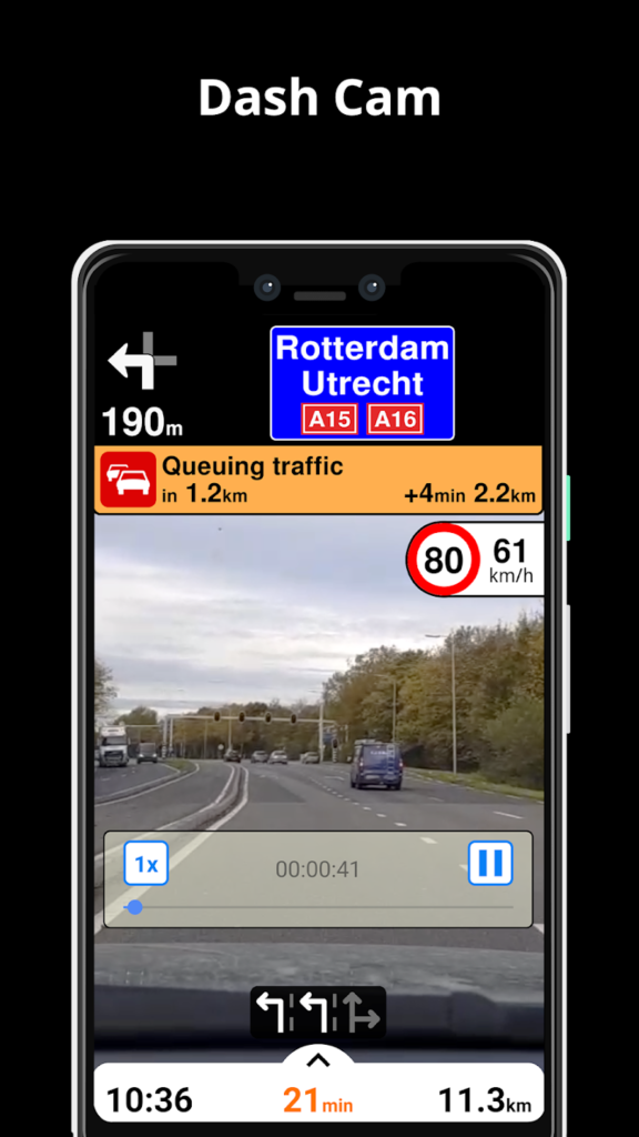
Sygic is a premium GPS navigation app known for its detailed offline maps and advanced navigation tools. It uses high-quality data from TomTom and offers 3D maps, lane guidance, speed limit warnings, and voice instructions. One standout feature is its offline capability combined with real-time traffic when online.
Sygic also includes extras like dashcam mode, head-up display for night driving, and fuel price comparisons. While some features require a one-time or subscription payment, its rich feature set makes it a strong alternative to mainstream apps.
Key Highlights:
- 3D offline maps with voice navigation
- Advanced features like head-up display and dashcam
- Real-time traffic and safety alerts
Who it’s best for:
- Drivers needing detailed navigation tools
- Users traveling in low-connectivity regions
- People seeking high-end driving features on mobile
Contact Information:
- App Store: apps.apple.com/us/app/sygic-gps-navigation-maps
- Google Play: play.google.com/store/apps/details
- Website: www.sygic.com
- Facebook: www.facebook.com/sygicofficial
- Twitter: x.com/sygicofficial
- LinkedIn: www.linkedin.com/company/sygic

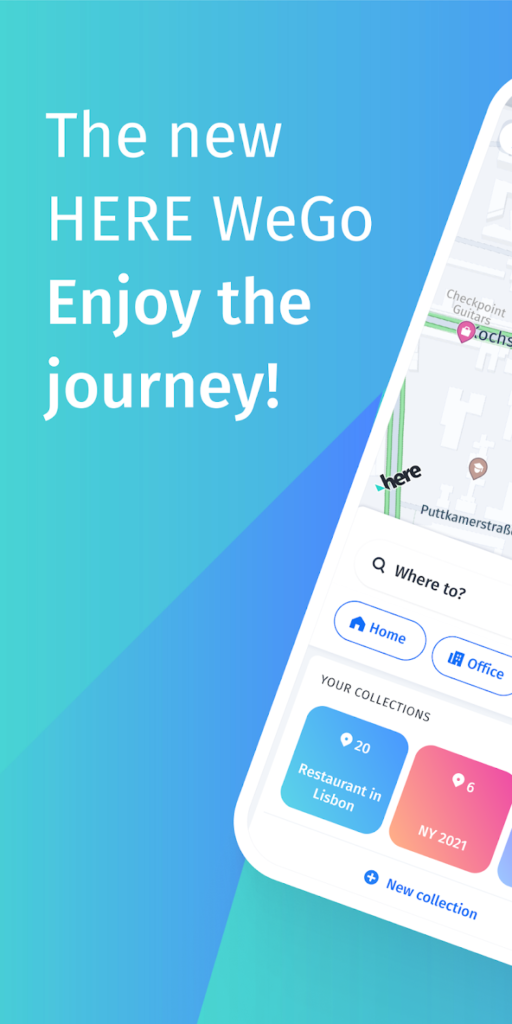
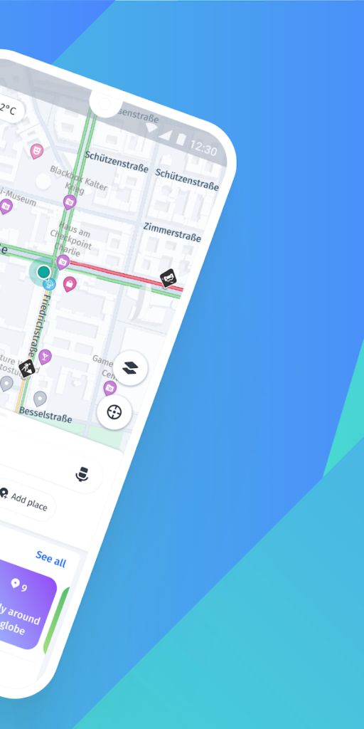
6. HERE WeGo
HERE WeGo is a reliable navigation app designed for both urban and offline use. It provides turn-by-turn directions for driving, walking, biking, and public transit. One of its main strengths is its ability to download full city or country maps for offline navigation, making it a favorite among travelers and international users.
The app includes traffic data, speed information, and the ability to compare route options across different transportation modes. HERE WeGo is especially helpful for navigating in areas with limited or expensive mobile data coverage.
Key Highlights:
- Offline navigation with downloadable maps
- Multi-modal route planning (car, transit, walking)
- Clear and modern user interface
Who it’s best for:
- International travelers needing offline maps
- Urban commuters using multiple transport modes
- Users looking for a clean, no-nonsense app
Contact Information:
- App Store: apps.apple.com/us/app/here-wego-maps-navigation
- Google Play: play.google.com/store/apps/details
- Website: www.here.com
- Instagram: www.instagram.com/here
- Twitter: x.com/HERE
- LinkedIn: www.linkedin.com/company/here
- Facebook: www.facebook.com/here

7. Citymapper
Citymapper is a transit-focused map app designed for navigating complex public transportation networks. It supports buses, subways, trams, ferries, and even bike shares in major cities around the world. The app shows real-time departures, delays, route alternatives, and walking times between connections.
One unique feature is the “GO” mode, which guides you step-by-step through your entire trip, including alerts when to get off or transfer. It’s perfect for city dwellers and tourists unfamiliar with public transport systems.
Key Highlights:
- Real-time public transit data
- Multi-step trip planning with walking directions
- “GO” mode for step-by-step trip assistance
Who it’s best for:
- Urban commuters relying on public transit
- Travelers exploring unfamiliar cities
- Users needing accurate multimodal directions
Contact Information:
- App Store: apps.apple.com/us/app/citymapper-all-live-transit
- Google Play: play.google.com/store/apps/details
- Website: citymapper.com

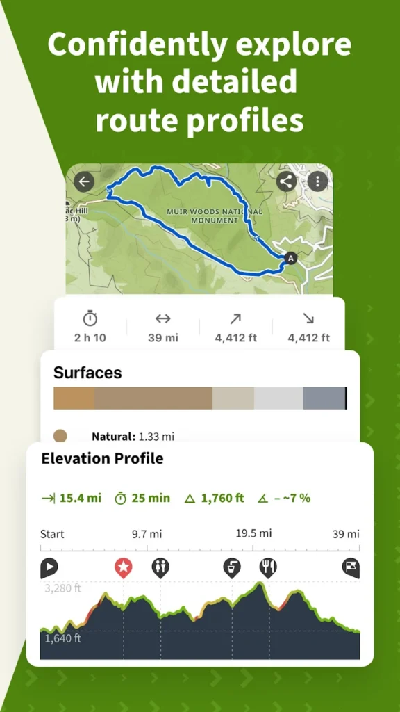
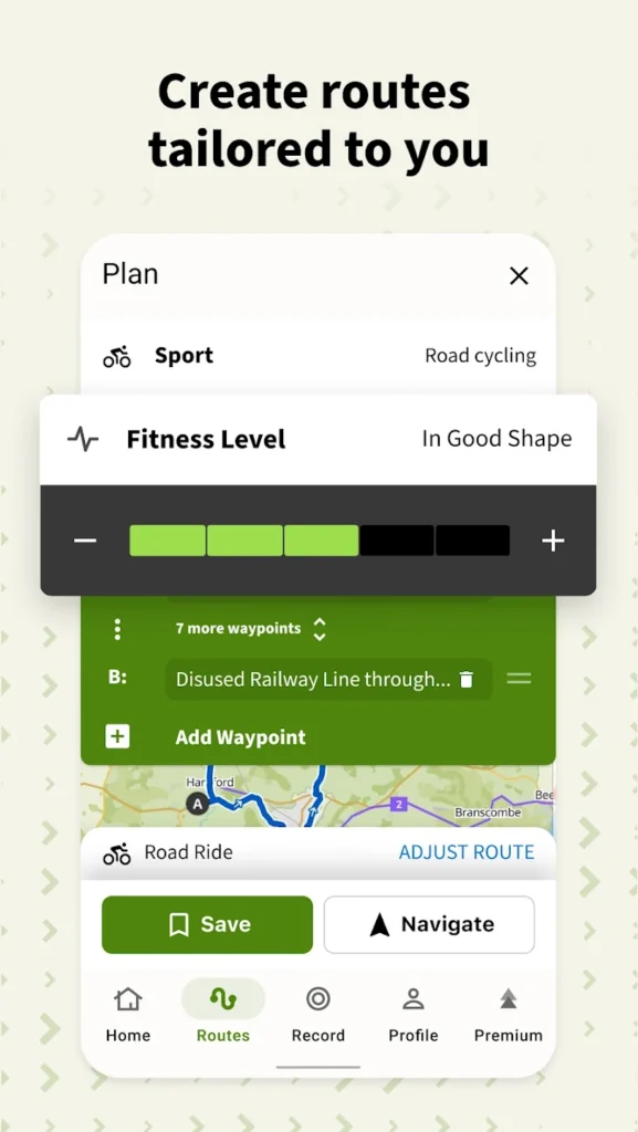
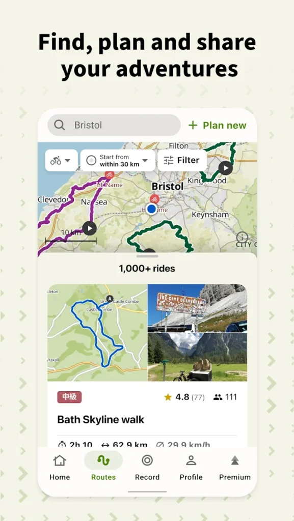
8. Komoot
Komoot is a navigation app built for outdoor adventure, including hiking, biking, and mountain trails. It specializes in route planning for off-road travel and includes topographic maps, elevation profiles, and route difficulty ratings.
Komoot’s offline maps are tailored to specific outdoor activities, and its community-driven content helps users discover trails and routes. The app is especially popular among cyclists, backpackers, and hikers who need highly detailed terrain information.
Key Highlights:
- Specialized maps for hiking and biking
- Offline access with terrain and elevation data
- Community-based trail recommendations
Who it’s best for:
- Hikers, cyclists, and outdoor enthusiasts
- Users needing terrain-specific navigation
- Travelers planning adventures in nature
Contact Information:
- App Store: apps.apple.com/us/app/komoot-hike-bike-run
- Google Play: play.google.com/store/apps/details
- Website: www.komoot.com
- Facebook: www.facebook.com/komoot
- Instagram: www.instagram.com/komoot

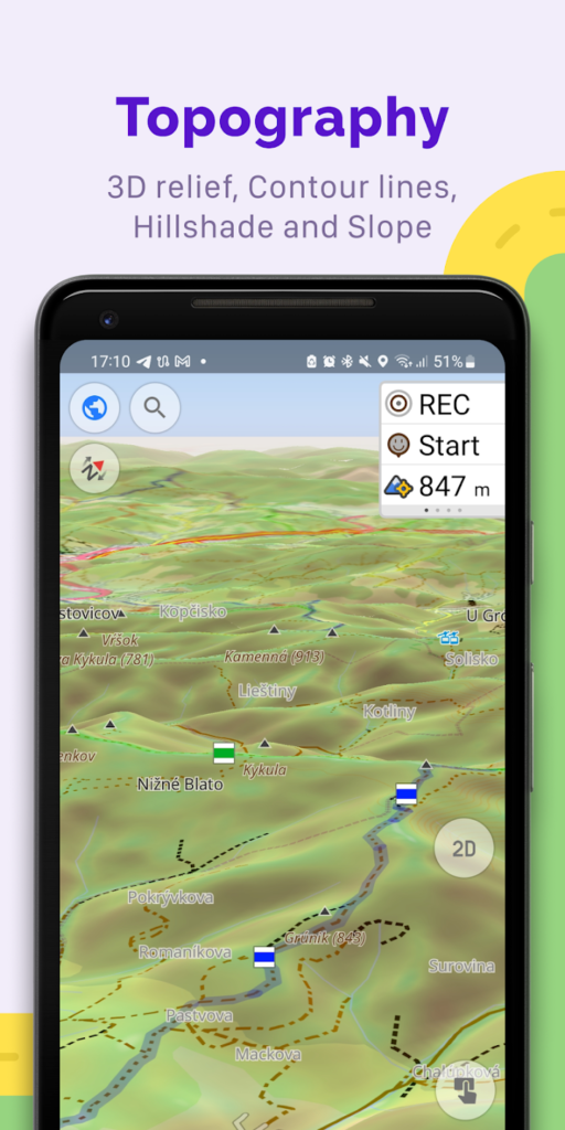
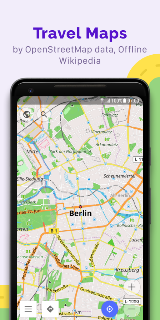
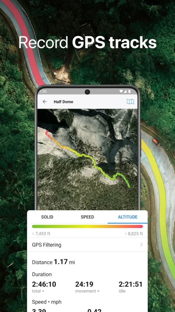
9. OsmAnd Maps
OsmAnd is an open-source map app that offers extensive offline features and customizable navigation. It’s built using OpenStreetMap data and supports detailed maps with layers like hiking trails, ski routes, and sea charts. Users can also record GPS tracks and view speed and altitude info.
Though the interface is less polished than mainstream apps, OsmAnd shines in flexibility. It’s highly configurable and appeals to power users who want control over every aspect of map viewing and navigation.
Key Highlights:
- Open-source with rich map layer options
- Offline maps for global use
- Route recording, tracking, and custom routing
Who it’s best for:
- Users wanting full customization and control
- Outdoor adventurers and off-grid travelers
- Tech-savvy individuals using GPS for data and planning
Contact Information:
- App Store: apps.apple.com/us/app/osmand-maps-travel-navigate
- Google Play: play.google.com/store/apps/details
- Website: osmand.net
- Twitter: x.com/osmandapp
- Facebook: www.facebook.com/osmandapp
10. Magic Earth Navigation & Maps
Magic Earth is a privacy-focused GPS navigation app that uses OpenStreetMap data. It provides turn-by-turn navigation for driving, walking, and cycling, with 3D maps, offline access, and real-time traffic updates. One of its key advantages is that it does not track user data, making it a strong choice for privacy-conscious users.
The app also includes lane guidance, speed camera alerts, and heads-up display support. With a clean UI and reliable routing, it balances functionality and discretion, especially for users who want a solid offline map experience.
Key Highlights:
- Privacy-first approach with no tracking
- 3D offline maps and traffic alerts
- Heads-up display and speed warnings
Who it’s best for:
- Privacy-focused users avoiding data tracking
- Drivers needing offline GPS functionality
- Users who value simple, clean design
Contact Information:
- App Store: apps.apple.com/us/app/magic-earth-navigation-maps
- Google Play: play.google.com/store/apps/details
- Website: www.magicearth.com
- LinkedIn: www.linkedin.com/company/magic-earth
- Instagram: www.instagram.com/magicearth_app
- Facebook: www.facebook.com/MagicLaneCompany
- Twitter: x.com/MagicEarth_app

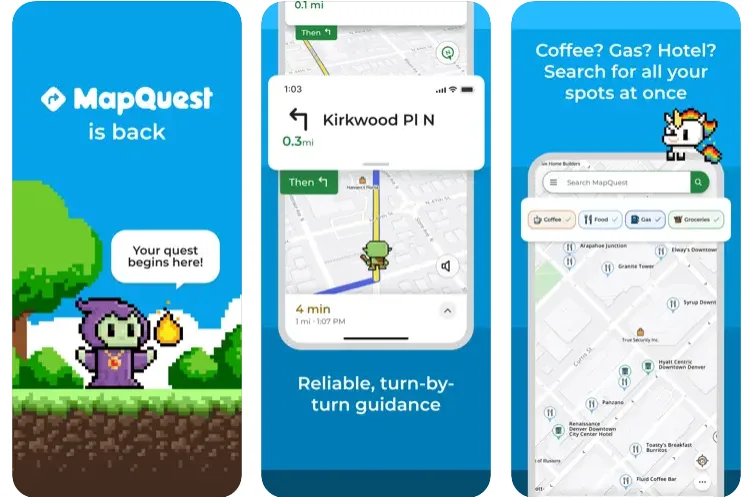
11. MapQuest GPS Navigation & Maps
MapQuest, a classic name in mapping, offers reliable GPS navigation and driving directions, including Apple CarPlay integration, though it may lack some advanced features compared to newer competitors. It features turn-by-turn voice guidance, live traffic updates, route re-routing, and gas price comparisons. The app also includes walking and transit directions, making it versatile for everyday use.
While not as modern as some competitors, MapQuest still offers dependable service and practical tools for finding routes, locating amenities, and avoiding traffic.
Key Highlights:
- Real-time traffic and alternate routes
- Gas price finder and voice navigation
- Includes walking and transit directions
Who it’s best for:
- Users seeking a traditional GPS experience
- Drivers looking for utility over design
- Budget-conscious users tracking fuel costs
Contact Information:
- App Store: apps.apple.com/us/app/mapquest-gps-navigation-maps
- Google Play: play.google.com/store/apps/details
- Website: hello.mapquest.com

12. Guru Maps
Guru Maps is a flexible offline map app geared toward travelers, cyclists, and long-distance drivers. It offers vector-based maps with fast rendering, customizable routing profiles, and offline search. The app supports bookmarks, GPX import, and route planning without the internet.
It’s particularly useful for off-road navigation and international travel, where internet access may be limited. Guru Maps also displays elevation and terrain detail, ideal for outdoor use.
Key Highlights:
- Fully offline with fast, vector-based maps
- GPX track support and custom routes
- Detailed terrain and elevation data
Who it’s best for:
- Off-grid travelers and campers
- Cyclists and hikers using GPX tracks
- Users seeking lightweight offline navigation
Contact Information:
- App Store: apps.apple.com/us/app/guru-maps-offline-navigation
- Google Play: play.google.com/store/apps/details
- Website: gurumaps.app
- Instagram: www.instagram.com/gurumaps.app
- Facebook: www.facebook.com/gurumaps

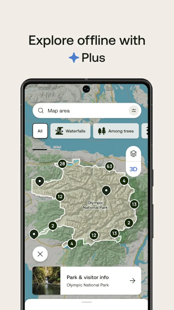
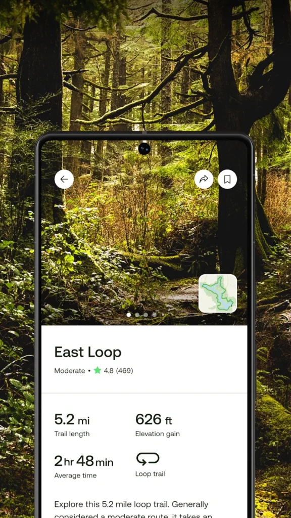
13. AllTrails
AllTrails is designed for people who love hiking, running, and biking. It provides thousands of trail maps with user reviews, difficulty ratings, and elevation profiles. The app allows you to record your route, download maps for offline use, and track your fitness metrics.
AllTrails is not a traditional street navigation app but excels in natural settings. It’s trusted by outdoor enthusiasts who need detailed trail data and GPS accuracy in the wilderness.

Key Highlights:
- Extensive database of hiking and biking trails
- Offline trail maps and route recording
- Trail difficulty, elevation, and reviews
Who it’s best for:
- Hikers and trail runners
- Outdoor explorers planning nature trips
- Users needing topographic trail info
Contact Information:
- App Store: apps.apple.com/us/app/alltrails-hike-bike-run
- Google Play: play.google.com/store/apps/details
- Website: www.alltrails.com
- Instagram: www.instagram.com/alltrails
- Facebook: www.facebook.com/AllTrails
- Twitter: x.com/alltrails
- LinkedIn: www.linkedin.com/company/alltrails

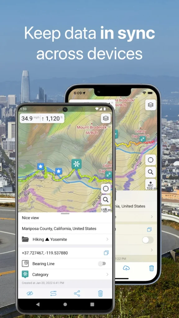
14. Gaia GPS
Gaia GPS is a high-end navigation app for backcountry use, offering topo maps, satellite imagery, and trail data. It’s used by hikers, hunters, off-roaders, and climbers for detailed terrain insight and offline navigation in remote areas.
The app allows users to plan routes, download detailed map layers, and record GPS tracks. Its focus on accuracy, safety, and offline capability makes it one of the top choices for wilderness navigation.
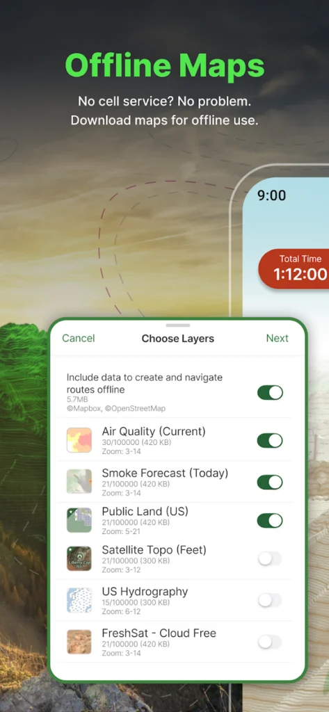
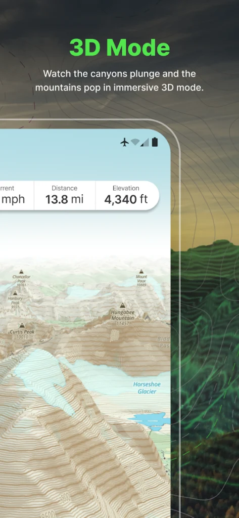
Key Highlights:
- Topographic, satellite, and public land maps
- Offline route planning and track recording
- Designed for backcountry and off-road use
Who it’s best for:
- Adventurers and mountaineers
- Campers, hunters, and backpackers
- Serious outdoor navigators needing precision
Contact Information:
- App Store: apps.apple.com/us/app/gaia-gps-mobile-trail-maps
- Google Play: play.google.com/store/apps/details
- Website: www.gaiagps.com

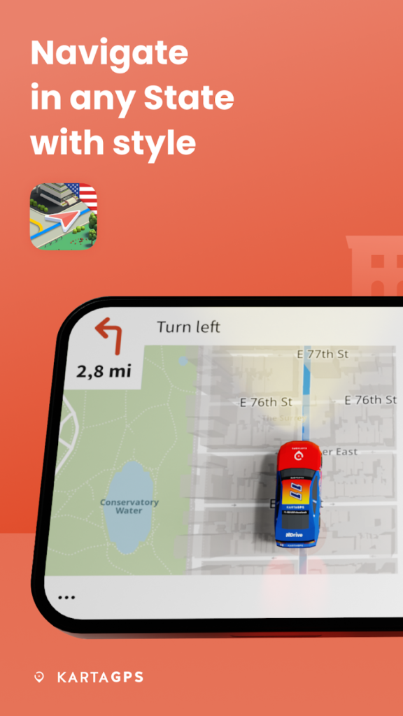
15. Karta GPS
Karta GPS is a full-featured navigation app offering offline maps, voice-guided navigation, and live traffic updates. It uses OpenStreetMap data and allows users to download entire countries or regions for offline use, which is especially helpful for international travelers.
The app also provides information on nearby restaurants, parking, and gas stations. It includes speed limit warnings and alternative route suggestions, making it a solid and lightweight alternative to more data-heavy apps.
Key Highlights:
- Fully offline maps with global coverage
- Voice guidance and speed alerts
- Points of interest for easy travel planning
Who it’s best for:
- Travelers using limited or no mobile data
- Drivers needing basic but complete GPS tools
- Users preferring a clutter-free interface
Contact Information:
- App Store: apps.apple.com/us/app/karta-gps-offline-maps-nav
- Google Play: play.google.com/store/apps/details
- Website: ndrive.com

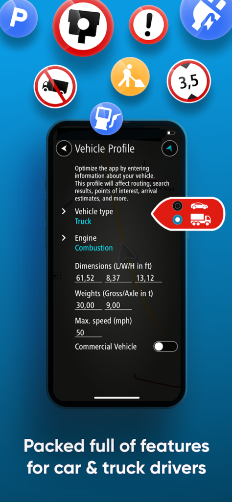
16. CoPilot GPS Navigation
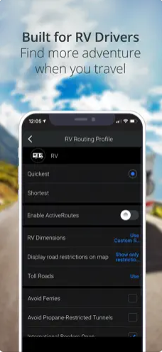
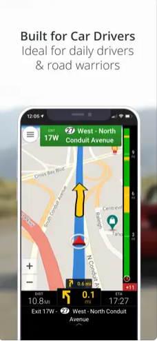
CoPilot GPS is a premium-grade navigation app tailored for professional drivers, RV travelers, and long-distance road trippers. It offers detailed offline maps, advanced route customization, and features like lane guidance, road restrictions, and height-based routing.
The app is especially useful for those with large vehicles, as it considers road types and vehicle size. It also supports multi-stop trip planning and voice navigation.
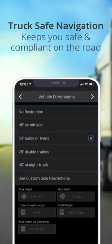
Key Highlights:
- Professional routing for trucks, RVs, and delivery drivers
- Offline navigation with advanced controls
- Real-time traffic with premium add-ons
Who it’s best for:
- Truckers and RV drivers
- Road trippers planning complex routes
- Users with large or commercial vehicles
Contact Information:
- App Store: apps.apple.com/us/app/copilot-gps-navigation
- Google Play: play.google.com/store/apps/details
- Website: copilotgps.com
- LinkedIn: www.linkedin.com/company/trimble-transportation
- Twitter: x.com/trimble_trans

17. TomTom GO Navigation
TomTom GO brings the legacy of TomTom GPS devices to the iPhone with offline navigation, real-time traffic, and detailed map updates. The app includes lane guidance, speed camera alerts, and route recalculation based on traffic.
It offers a sleek interface and focuses on safety and precision. Although it requires a subscription for ongoing map updates and traffic data, its routing engine is one of the most reliable in the industry.
Key Highlights:
- Reliable routing from a trusted GPS brand
- Offline access with frequent map updates
- Real-time traffic and camera alerts
Who it’s best for:
- Users who previously used TomTom devices
- Daily drivers wanting accuracy and stability
- Commuters in need of reliable live traffic
Contact Information:
- App Store: apps.apple.com/us/app/tomtom-go-navigation
- Google Play: play.google.com/store/apps/details
- Website: www.tomtom.com
- Twitter: x.com/tomtom
- Facebook: www.facebook.com/TomTom
- LinkedIn: www.linkedin.com/company/tomtom
- Instagram: www.instagram.com/tomtomglobal

18. Trailforks
Trailforks is a navigation app focused on mountain biking, but it also supports hiking, trail running, and backcountry exploration. It features thousands of trails worldwide with difficulty ratings, trail conditions, elevation charts, and user reports.
It’s ideal for off-road use and includes offline map downloads for specific regions. Riders can record routes, check local restrictions, and even view heatmaps of popular trails.
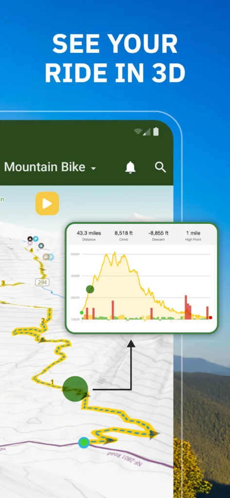
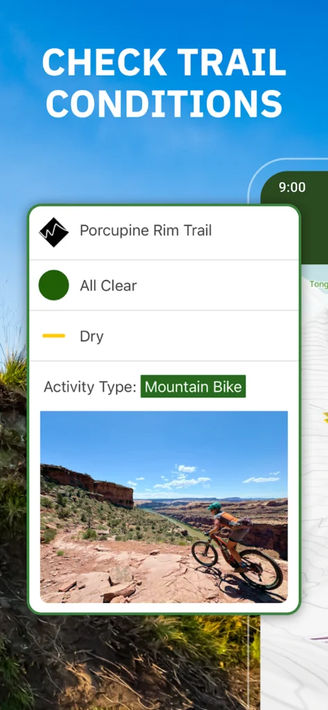

Key Highlights:
- Global trail database with MTB focus
- Offline use with downloadable regions
- User reports and trail condition updates
Who it’s best for:
- Mountain bikers and trail riders
- Hikers looking for trail condition data
- Outdoor explorers needing regional trail info
Contact Information:
- App Store: apps.apple.com/us/app/trailforks-offline-bike-maps
- Google Play: play.google.com/store/apps/details
- Website: www.trailforks.com
- Facebook: www.facebook.com/trailforks
- Twitter: x.com/trailforks
- Instagram: www.instagram.com/trailforks

19. MapOut
MapOut is a lesser-known but powerful app focused on offline navigation with custom route drawing and detailed topographic maps. It supports GPX import and export, making it useful for trip planning and hiking. The app also includes an elevation view and distance measurement tools.
Its interface is gesture-based, making navigation feel smooth and natural. While it doesn’t include turn-by-turn directions, it’s ideal for visual navigation outdoors.
Key Highlights:
- Offline topo maps with GPX support
- Route drawing and elevation profiles
- Gesture-based map controls
Who it’s best for:
- Hikers and cyclists planning custom routes
- Users wanting a visual-focused navigation tool
- Travelers relying on offline topo data
Contact Information:
- App Store: apps.apple.com/us/app/mapout
- Google Play: play.google.com/store/apps/details
- Website: mapout.app
- Twitter: x.com/MapOutApp
- Facebook: www.facebook.com/MapOutApp
- E-mail: info@mapout.app
Conclusion
Choosing the best map app for iPhone comes down to your lifestyle and how you travel. Whether you value real-time traffic data, detailed public transit routes, offline maps, or location sharing features, there’s an app tailored for your needs. From planning road trips to navigating city streets, the right map app can turn your iPhone into a powerful navigation assistant. Try out a few options and find the one that helps you explore with confidence.